Urban Lighting Visualization | Smart City Project Presentation | City Infrastructure Visualization
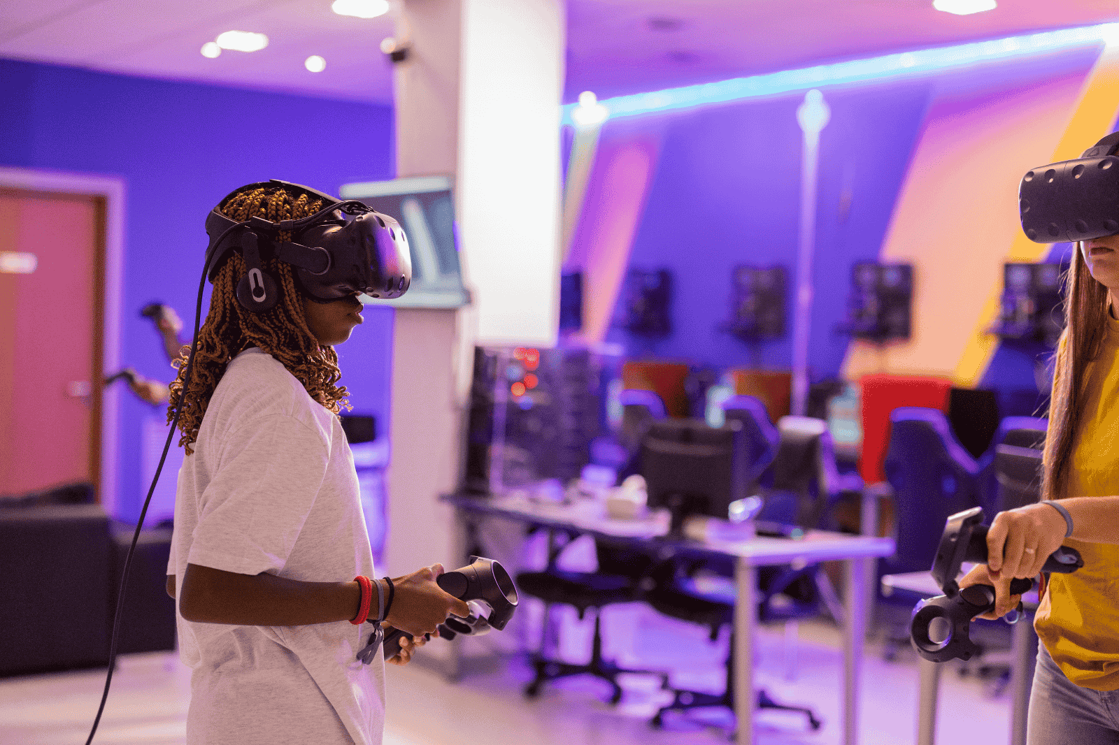
As cities evolve into smarter, more sustainable ecosystems, the need for advanced visualization tools is becoming essential. Technologies like Virtual Reality (VR), 3D visualization, and digital twins are transforming how urban planners, government bodies, and infrastructure developers design and present projects. From urban lighting visualization to smart city project presentations and city infrastructure visualization, immersive solutions are helping stakeholders make faster, more informed decisions.
These technologies enable planners and decision-makers to visualize entire city environments before implementation, ensuring efficiency, safety, and better resource management.
360VRFX Industrial
Urban Lighting Visualization
Urban lighting visualization allows planners to simulate and analyze street lighting, public space illumination, and architectural lighting in a virtual environment before actual installation.
360VRFX Industrial
Key Applications
Benefits
Urban lighting visualization helps authorities create well-lit, safe, and visually appealing urban spaces.
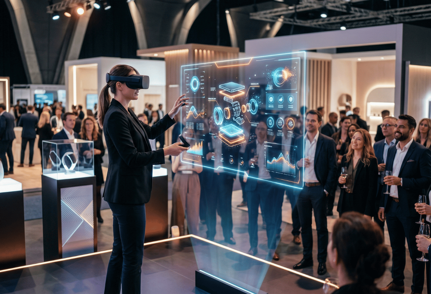
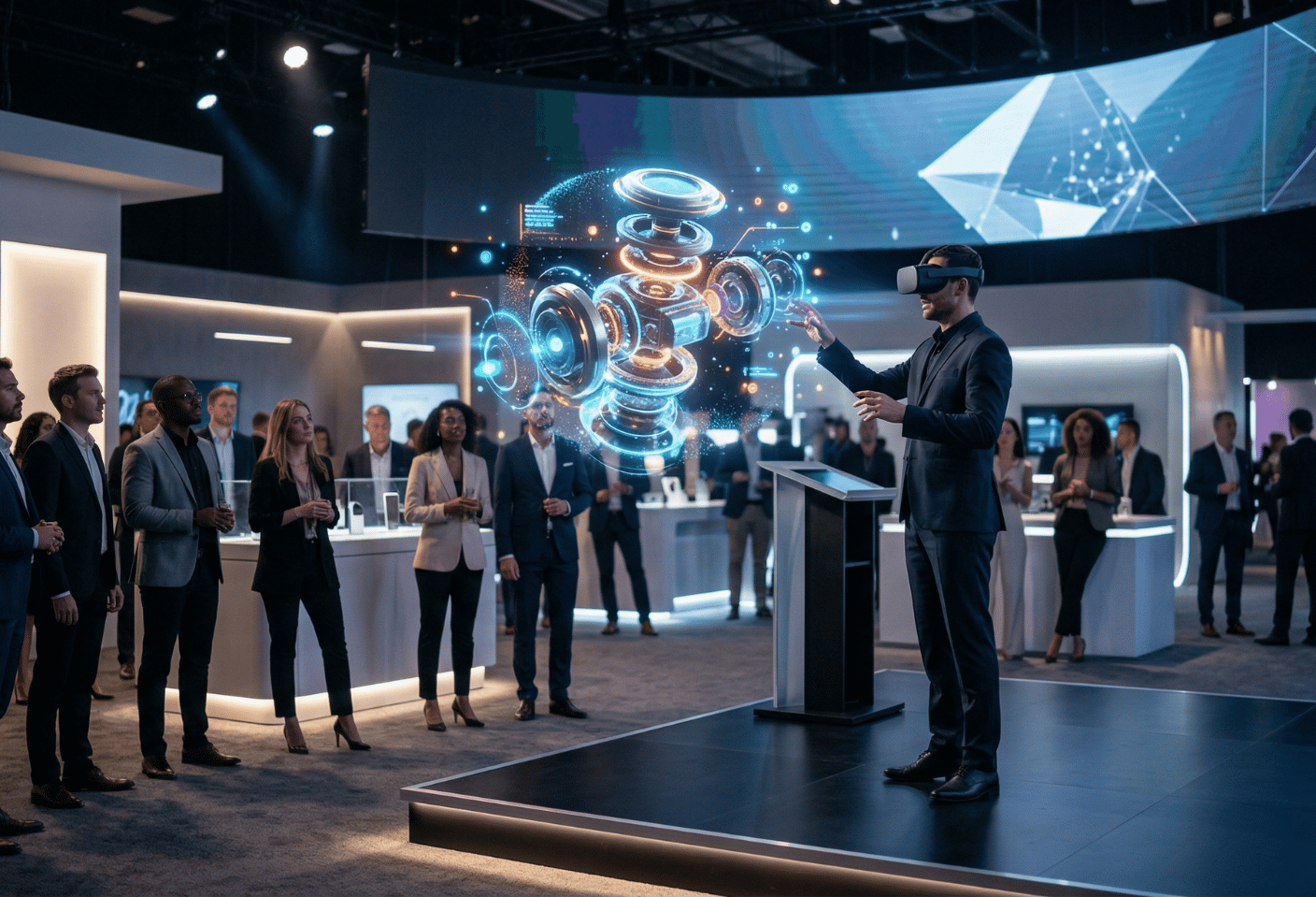
Smart City Project Presentation
A smart city project presentation uses immersive technologies to showcase large-scale urban development projects in a highly engaging and interactive way.
What Can Be Presented?
Key Features
Advantages
Smart city presentations are essential for government proposals, tenders, and urban development planning.
City Infrastructure Visualization
City infrastructure visualization enables planners and engineers to create detailed digital models of urban systems, including roads, utilities, buildings, and transportation networks.
Key Areas Covered
Benefits
City infrastructure visualization ensures efficient, scalable, and sustainable urban development.
Technologies Powering Urban Visualization
Modern urban visualization solutions use a combination of advanced technologies:
Why Choose 360 VRFX
For organizations looking to present and plan urban infrastructure effectively, 360 VRFX offers cutting-edge visualization solutions.
Future of Urban Visualization
As cities become smarter and more connected, urban visualization technologies will play a critical role.
Frequently Asked Questions (FAQs)
What is urban lighting visualization?
It is the use of 3D and VR technology to simulate and plan lighting systems in urban areas.
How does smart city project presentation help?
It provides an interactive and immersive way to showcase city development projects to stakeholders and investors.
What is city infrastructure visualization?
It involves creating digital models of urban systems such as roads, utilities, and buildings for planning and analysis.
Which technologies are used in urban visualization?
Technologies include VR, AR, 3D modeling, digital twins, and cloud platforms.
Why choose 360 VRFX for urban visualization solutions?
360 VRFX offers advanced, immersive, and customized visualization solutions for smart city and infrastructure projects.